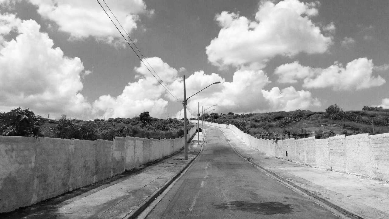
Housing at the margins Two Minha Casa Minha Vida development sites located 25 kilometers west of São Paulo’s city center.
OVERVIEW
In this study of the Minha Casa Minha Vida (My house My Life, MCMV) subsidized housing program, we undertook a geospatial analysis of resource distribution across inner-ring informal settlements and peri-urban MCMV social housing sites, and verified the accuracy with qualitative data. In the MCMV study, we used participant observation and photographs in meetings and on site visits with people who had subscribed to the MCMV program and were awaiting a new home to be constructed on the site shown above. We also collected data through a qualitative survey with 94 MCMV beneficiaries, and used Google Earth to determine their current living situation. This combination of methods provided us with a model for measuring the resources that poor families stand to lose if they are convinced to move from inner ring settlements to a peri-urban housing estate. More critically, these methods revealed why some were willing to leave a well located community with social ties. It is important to illuminate the multi-scalar empirics of urban displacements given that they will undoubtedly deepen sociospatial segregation, and require that local actors and governments extend social service and other costly infrastructures, with various social and environmental implications. Read about the results of our study in the International Journal of Housing Policy here.


